CityPlanner
3D bymodel

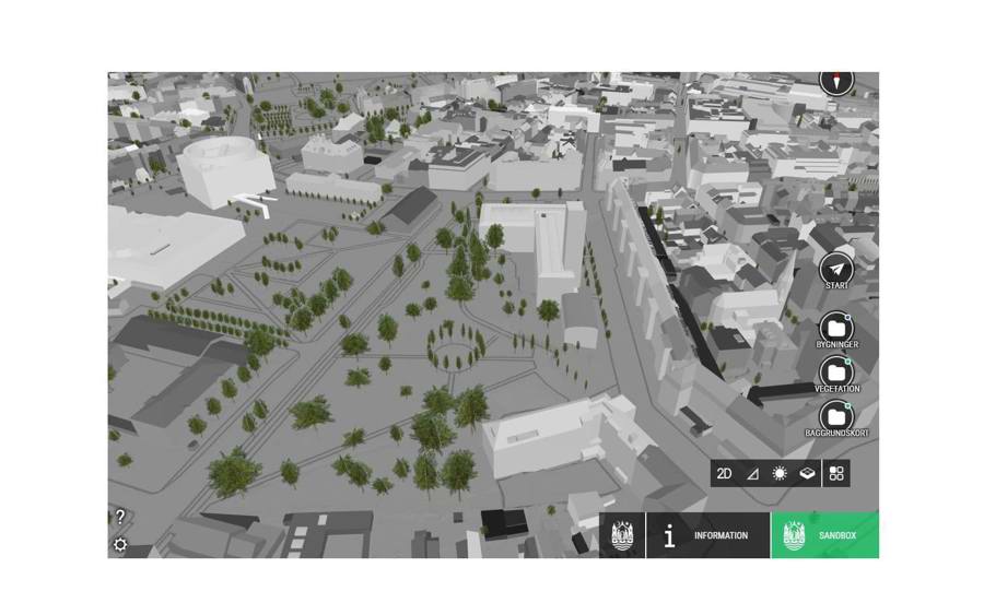
Formål: Ny 3D bymodel som dækker hele Aarhus Kommune, og som er opbygget på baggrund af data fra henholdsvis 2015 og 2016. Bygningerne og indholdet i bymodellen vil løbende blive ajourført, således modellen giver et let og grundigt indblik i Aarhus Kommunes nuværende og fremtidige planlægning. Bymodellen gør det muligt at bevæge sig frit rundt og at indsætte nye modeller/planer direkte ind i modellen. CityPlanner skal på længere sigt være med til at lette kommunikationen mellem borgerne og kommunen ved at stille en fælles platform til rådighed. Derfor vil den kunne tilgås på internettet via CityPlanner platformen, hvor både borgere og som medarbejdere i kommunen kan tilgå den samme 3D bymodel.
Målgruppe: Alle.
Udviklingsstadie: Under videreudvikling, men kan afprøves af offentligheden via dette link
Function: New 3D city model covering all of Aarhus Municipality, based on data from 2015 and 2016 respectively. The buildings and contents of the city model will be updated continuously, so the model provides a simple and thorough insight into the current and future planning of Aarhus Municipality. The model allows you to move freely around and to insert new models or plans directly into the model. In the long term, CityPlanner will help facilitate communication between citizens and the municipality by providing a common platform. Therefore, the City of Aarhus model can be accessed through the internet via the CityPlanner platform, where both citizens and employees in the municipality have access the same 3D city model.
Target group: All.
Development stage: Under development but can be tested by the public via this link